
Guatapanal topographic map
Interactive map
Click on the map to display elevation.
About this map
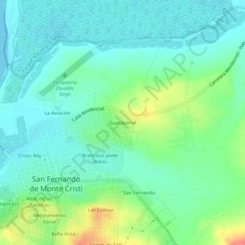
Name: Guatapanal topographic map, elevation, terrain.
Location: Guatapanal, Monte Cristi, 62000, República Dominicana (19.83836 -71.65414 19.87836 -71.61414)
Average elevation: 56 ft
Minimum elevation: 0 ft
Maximum elevation: 203 ft