
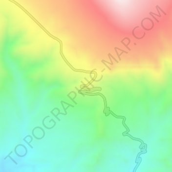
扎达土林 topographic map
Interactive map
Click on the map to display elevation.
About this map
Name: 扎达土林 topographic map, elevation, terrain.
Location: 扎达土林, Y708, 托林镇, 札达县, 阿里地区, 西藏自治区, 中国 (31.69845 79.78019 31.69855 79.78029)
Average elevation: 14,239 ft
Minimum elevation: 13,514 ft
Maximum elevation: 15,269 ft