
Lightning Creek Holding Pond B Dam topographic map
Interactive map
Click on the map to display elevation.
About this map
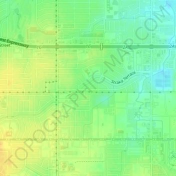
Name: Lightning Creek Holding Pond B Dam topographic map, elevation, terrain.
Average elevation: 1,266 ft
Minimum elevation: 1,224 ft
Maximum elevation: 1,306 ft
Other topographic maps
Click on a map to view its topography, its elevation and its terrain.
Oklahoma City
United States > Oklahoma > Oklahoma County > Oklahoma City
Oklahoma City, Oklahoma County, Oklahoma, 73104:73106, United States
Average elevation: 1,214 ft