
Kedungpengawas topographic map
Interactive map
Click on the map to display elevation.
About this map
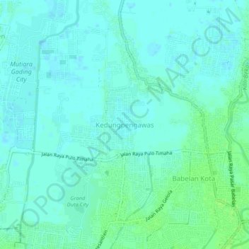
Name: Kedungpengawas topographic map, elevation, terrain.
Location: Kedungpengawas, Bekasi, West Java, 17610, Indonesia (-6.17573 107.00760 -6.13573 107.04760)
Average elevation: 13 ft
Minimum elevation: -3 ft
Maximum elevation: 33 ft
Other topographic maps
Click on a map to view its topography, its elevation and its terrain.