
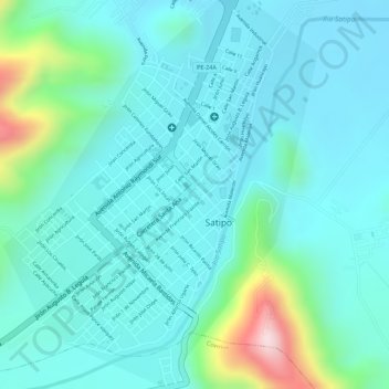
Plaza Mayor de Satipo topographic map
Interactive map
Click on the map to display elevation.
About this map
Name: Plaza Mayor de Satipo topographic map, elevation, terrain.
Location: Plaza Mayor de Satipo, Satipo, Junín, Perú (-11.25459 -74.63762 -11.25332 -74.63631)
Average elevation: 2,195 ft
Minimum elevation: 1,962 ft
Maximum elevation: 3,143 ft
Other topographic maps
Click on a map to view its topography, its elevation and its terrain.
Plaza de Armas Santa Leonor
Plaza de Armas Santa Leonor, Satipo, Junín, Perú
Average elevation: 2,090 ft
RIO SATIPO
RIO SATIPO, Satipo, Provincia de Satipo, Junín, Perú
Average elevation: 3,156 ft
PLAZA DE ARMAS - JOSE OLAYA
PLAZA DE ARMAS - JOSE OLAYA, Villa Pacifico, Satipo, Provincia de Satipo, Junín, Perú
Average elevation: 2,234 ft