
Hailer topographic map
Interactive map
Click on the map to display elevation.
About this map
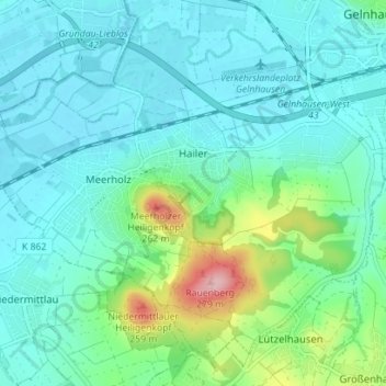
Name: Hailer topographic map, elevation, terrain.
Location: Hailer, Gelnhausen, Main-Kinzig-Kreis, Hessen, Deutschland (50.16284 9.12172 50.20109 9.19178)
Average elevation: 512 ft
Minimum elevation: 400 ft
Maximum elevation: 965 ft