
Rahra topographic map
Interactive map
Click on the map to display elevation.
About this map
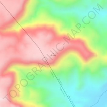
Name: Rahra topographic map, elevation, terrain.
Location: Rahra, Obock District, Obock, Djibouti (12.11154 42.87294 12.11164 42.87304)
Average elevation: 2,464 ft
Minimum elevation: 1,801 ft
Maximum elevation: 3,045 ft