
Bni Tadjite بني تادجيت topographic map
Interactive map
Click on the map to display elevation.
About this map
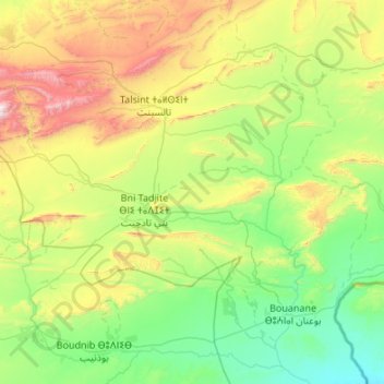
Name: Bni Tadjite بني تادجيت topographic map, elevation, terrain.
Average elevation: 4,111 ft
Minimum elevation: 2,526 ft
Maximum elevation: 8,852 ft