
Cedar Hill topographic map
Interactive map
Click on the map to display elevation.
About this map
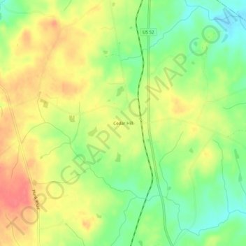
Name: Cedar Hill topographic map, elevation, terrain.
Location: Cedar Hill, Anson County, North Carolina, USA (35.12293 -80.13811 35.16293 -80.09811)
Average elevation: 312 ft
Minimum elevation: 203 ft
Maximum elevation: 413 ft