
Bathora topographic map
Interactive map
Click on the map to display elevation.
About this map
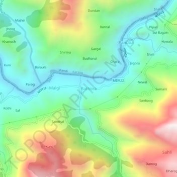
Name: Bathora topographic map, elevation, terrain.
Location: Bathora, Seoni, Shimla, Himachal Pradesh, India (31.24431 77.27771 31.28431 77.31771)
Average elevation: 3,622 ft
Minimum elevation: 2,228 ft
Maximum elevation: 6,152 ft