
Howmeh-ye Deylam RD topographic map
Interactive map
Click on the map to display elevation.
About this map
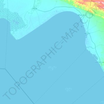
Name: Howmeh-ye Deylam RD topographic map, elevation, terrain.
Average elevation: 26 ft
Minimum elevation: -26 ft
Maximum elevation: 1,299 ft
Other topographic maps
Click on a map to view its topography, its elevation and its terrain.
Northern Liravi RD
Iran > Bushehr Province > Deylam County
Northern Liravi RD, Deylam Central District, Deylam County, Bushehr Province, Iran
Average elevation: 499 ft