
Grand Sart topographic map
Interactive map
Click on the map to display elevation.
About this map
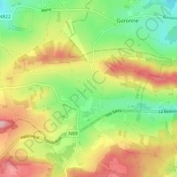
Name: Grand Sart topographic map, elevation, terrain.
Location: Grand Sart, Lierneux, Verviers, Luik, Wallonië, 4990, België (50.25349 5.83215 50.29349 5.87215)
Average elevation: 1,526 ft
Minimum elevation: 1,257 ft
Maximum elevation: 1,847 ft