
沈家营街道 topographic map
Interactive map
Click on the map to display elevation.
About this map
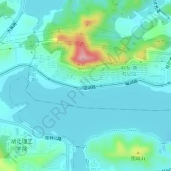
Name: 沈家营街道 topographic map, elevation, terrain.
Location: 沈家营街道, 仁智山水一期, 黄石港区, 黄石市, 湖北省, 435000, 中国 (30.21010 115.02621 30.23010 115.04621)
Average elevation: 135 ft
Minimum elevation: 33 ft
Maximum elevation: 600 ft