
Ulrichsbichl topographic map
Interactive map
Click on the map to display elevation.
About this map
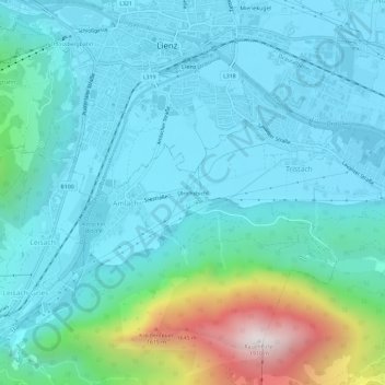
Name: Ulrichsbichl topographic map, elevation, terrain.
Location: Ulrichsbichl, Amlach, Bezirk Lienz, 9908, Österreich (46.79455 12.75203 46.83455 12.79203)
Average elevation: 2,864 ft
Minimum elevation: 2,149 ft
Maximum elevation: 6,214 ft