
李家埭 topographic map
Interactive map
Click on the map to display elevation.
About this map
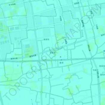
Name: 李家埭 topographic map, elevation, terrain.
Location: 李家埭, 南浔镇, 南浔区, 湖州市, 浙江省, 313009, 中国 (30.81175 120.37951 30.85175 120.41951)
Average elevation: 13 ft
Minimum elevation: 7 ft
Maximum elevation: 20 ft