
Ganivete topographic map
Interactive map
Click on the map to display elevation.
About this map
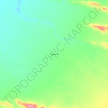
Name: Ganivete topographic map, elevation, terrain.
Location: Ganivete, Parras, Coahuila, México (25.52570 -102.13933 25.56570 -102.09933)
Average elevation: 4,334 ft
Minimum elevation: 4,170 ft
Maximum elevation: 4,678 ft
Other topographic maps
Click on a map to view its topography, its elevation and its terrain.
San Francisco del Progreso
San Francisco del Progreso, Parras, Coahuila, México
Average elevation: 4,124 ft
Parras de la Fuente
Parras de la Fuente, Parras, Coahuila, México
Average elevation: 5,062 ft