
Jadersdorf topographic map
Interactive map
Click on the map to display elevation.
About this map
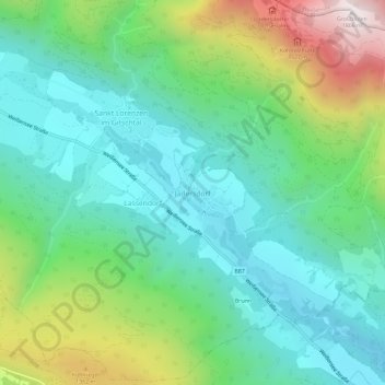
Name: Jadersdorf topographic map, elevation, terrain.
Location: Jadersdorf, Gitschtal, Bezirk Hermagor, Kärnten, Österreich (46.64191 13.29672 46.68191 13.33672)
Average elevation: 3,179 ft
Minimum elevation: 2,093 ft
Maximum elevation: 5,892 ft