
Champorcher topographic map
Interactive map
Click on the map to display elevation.
About this map
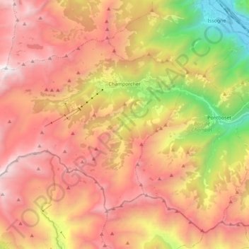
Name: Champorcher topographic map, elevation, terrain.
Location: Champorcher, Aostatal, Italien (45.56283 7.49133 45.64571 7.66270)
Average elevation: 4,216 ft
Minimum elevation: 899 ft
Maximum elevation: 8,812 ft