
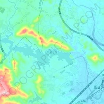
赤田水库 topographic map
Interactive map
Click on the map to display elevation.
About this map
Name: 赤田水库 topographic map, elevation, terrain.
Location: 赤田水库, 海棠区, 三亚市, 保亭黎族苗族自治县, 海南省, 中国 (18.41276 109.65321 18.44096 109.73018)
Average elevation: 154 ft
Minimum elevation: -13 ft
Maximum elevation: 978 ft