
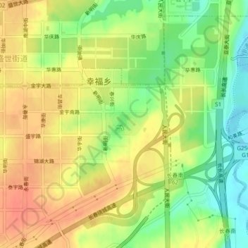
清水音公园 topographic map
Interactive map
Click on the map to display elevation.
About this map
Name: 清水音公园 topographic map, elevation, terrain.
Location: 清水音公园, 幸福乡, 南关区, 长春市, 南关区, 吉林省, 130000, 中国 (43.78867 125.31125 43.79120 125.31769)
Average elevation: 732 ft
Minimum elevation: 646 ft
Maximum elevation: 794 ft