
Ateret topographic map
Interactive map
Click on the map to display elevation.
About this map
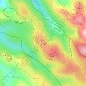
Name: Ateret topographic map, elevation, terrain.
Location: Ateret, Area C, Judea and Samaria, Palestinian Territory (31.99651 35.17383 32.00502 35.18099)
Average elevation: 2,110 ft
Minimum elevation: 1,640 ft
Maximum elevation: 2,641 ft