
Polesí topographic map
Interactive map
Click on the map to display elevation.
About this map
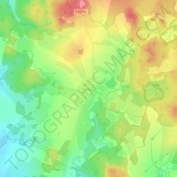
Name: Polesí topographic map, elevation, terrain.
Location: Polesí, Bezirk Pilgrams, Region Hochland, Südosten, Tschechien (49.28071 15.22710 49.30579 15.26489)
Average elevation: 2,185 ft
Minimum elevation: 2,044 ft
Maximum elevation: 2,339 ft