
El Guetar Est topographic map
Interactive map
Click on the map to display elevation.
About this map
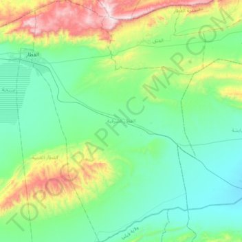
Name: El Guetar Est topographic map, elevation, terrain.
Location: El Guetar Est, Délégation El Guetar, Gouvernorat Gafsa, Tunisie (34.12878 8.94956 34.39977 9.17084)
Average elevation: 1,260 ft
Minimum elevation: 449 ft
Maximum elevation: 3,809 ft