
Dély Brahim topographic map
Interactive map
Click on the map to display elevation.
About this map
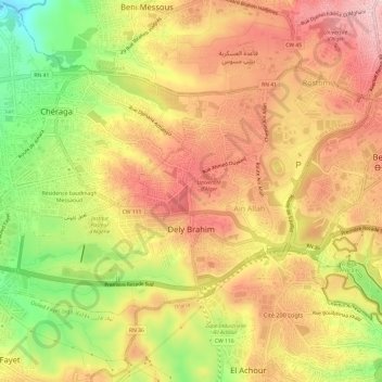
Name: Dély Brahim topographic map, elevation, terrain.
Location: Dély Brahim, Chéraga District, Algiers, Algeria (36.74119 2.94997 36.77244 3.01017)
Average elevation: 735 ft
Minimum elevation: 318 ft
Maximum elevation: 1,033 ft