
官田社区 topographic map
Interactive map
Click on the map to display elevation.
About this map
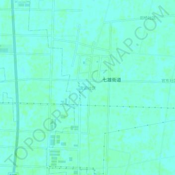
Name: 官田社区 topographic map, elevation, terrain.
Location: 官田社区, 宿迁市, 沭阳县, 江苏省, 中国 (34.10828 118.86172 34.14828 118.90172)
Average elevation: 23 ft
Minimum elevation: 13 ft
Maximum elevation: 33 ft
Other topographic maps
Click on a map to view its topography, its elevation and its terrain.