
Nord topographic map
Interactive map
Click on the map to display elevation.
About this map
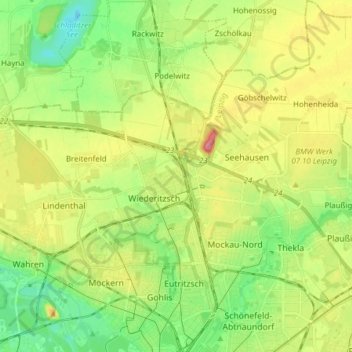
Name: Nord topographic map, elevation, terrain.
Location: Nord, Leipzig, Saxe, Allemagne (51.35204 12.34081 51.44811 12.49412)
Average elevation: 407 ft
Minimum elevation: 289 ft
Maximum elevation: 577 ft
Other topographic maps
Click on a map to view its topography, its elevation and its terrain.