
Tenões topographic map
Interactive map
Click on the map to display elevation.
About this map
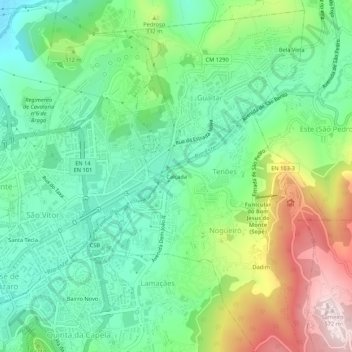
Name: Tenões topographic map, elevation, terrain.
Location: Tenões, Calçada, Braga, Cávado, North, 4715-312, Portugal (41.53707 -8.41319 41.57707 -8.37319)
Average elevation: 856 ft
Minimum elevation: 351 ft
Maximum elevation: 1,870 ft