
Arapahoe County Fairgrounds and Regional Park topographic map
Interactive map
Click on the map to display elevation.
About this map
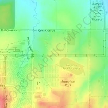
Name: Arapahoe County Fairgrounds and Regional Park topographic map, elevation, terrain.
Average elevation: 5,850 ft
Minimum elevation: 5,738 ft
Maximum elevation: 5,988 ft
Other topographic maps
Click on a map to view its topography, its elevation and its terrain.
Aurora Reservoir Dam
United States > Colorado > Arapahoe County > Aurora
Aurora Reservoir Dam, Aurora, Arapahoe County, Colorado, United States
Average elevation: 5,906 ft