
Padilla Bay National Estuarine Research Reserve topographic map
Interactive map
Click on the map to display elevation.
About this map
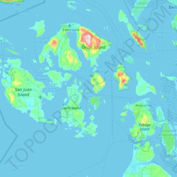
Name: Padilla Bay National Estuarine Research Reserve topographic map, elevation, terrain.
Average elevation: 10 ft
Minimum elevation: 0 ft
Maximum elevation: 308 ft