
Bent's Old Fort National Historic Site topographic map
Interactive map
Click on the map to display elevation.
About this map
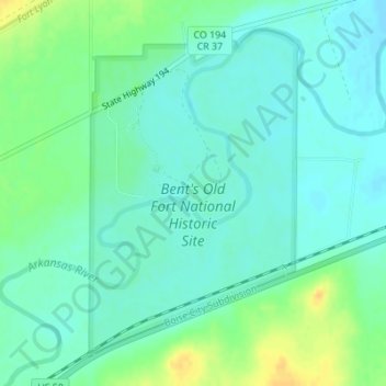
Name: Bent's Old Fort National Historic Site topographic map, elevation, terrain.
Average elevation: 4,016 ft
Minimum elevation: 3,986 ft
Maximum elevation: 4,078 ft