
Stadtbezirk IV topographic map
Interactive map
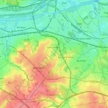
Click on the map to display elevation.
About this map
Name: Stadtbezirk IV topographic map, elevation, terrain.
Average elevation: 200 ft
Minimum elevation: 89 ft
Maximum elevation: 351 ft
Other topographic maps
Click on a map to view its topography, its elevation and its terrain.
Schuir
Deutschland > Nordrhein-Westfalen > Essen
Schuir, Stadtbezirk IX, Essen, Nordrhein-Westfalen, Deutschland
Average elevation: 404 ft