
Weser topographic map
Interactive map
Click on the map to display elevation.
About this map
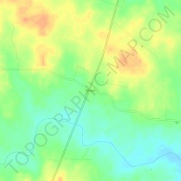
Name: Weser topographic map, elevation, terrain.
Location: Weser, Goliad County, Texas, VS (28.84526 -97.38749 28.88526 -97.34749)
Average elevation: 223 ft
Minimum elevation: 167 ft
Maximum elevation: 282 ft