
Provincia de Canchis topographic map
Interactive map
Click on the map to display elevation.
About this map
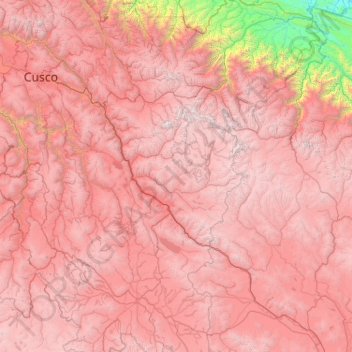
Name: Provincia de Canchis topographic map, elevation, terrain.
Location: Provincia de Canchis, San Pablo, Canchis, Cuzco, Perú (-14.10194 -71.20556 -14.06194 -71.16556)
Average elevation: 14,879 ft
Minimum elevation: 13,635 ft
Maximum elevation: 16,237 ft