
Hulu Selangor topographic map
Interactive map
Click on the map to display elevation.
About this map
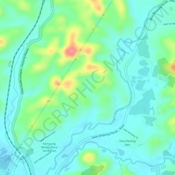
Name: Hulu Selangor topographic map, elevation, terrain.
Location: Hulu Selangor, Selangor, 44200, Malaysia (3.52356 101.64143 3.52366 101.64153)
Average elevation: 187 ft
Minimum elevation: 105 ft
Maximum elevation: 397 ft