
Smith Mills topographic map
Interactive map
Click on the map to display elevation.
About this map
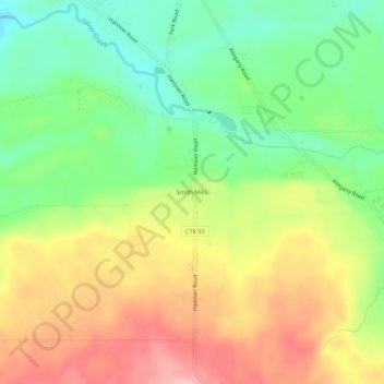
Name: Smith Mills topographic map, elevation, terrain.
Location: Smith Mills, Chautauqua County, New York, USA (42.47506 -79.12559 42.51506 -79.08559)
Average elevation: 997 ft
Minimum elevation: 774 ft
Maximum elevation: 1,260 ft