
Système ibérique topographic map
Interactive map
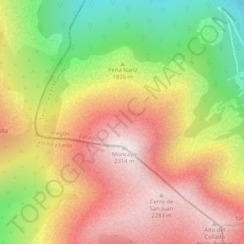
Click on the map to display elevation.
About this map
Name: Système ibérique topographic map, elevation, terrain.
Average elevation: 6,253 ft
Minimum elevation: 4,636 ft
Maximum elevation: 7,589 ft
Other topographic maps
Click on a map to view its topography, its elevation and its terrain.