
Oberdorla topographic map
Interactive map
Click on the map to display elevation.
About this map
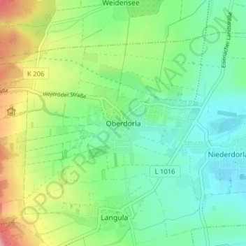
Name: Oberdorla topographic map, elevation, terrain.
Average elevation: 801 ft
Minimum elevation: 650 ft
Maximum elevation: 1,119 ft
Other topographic maps
Click on a map to view its topography, its elevation and its terrain.
Langula
Deutschland > Thüringen > Unstrut-Hainich-Kreis > Vogtei
Langula, Vogtei, Unstrut-Hainich-Kreis, Thüringen, 99986, Deutschland
Average elevation: 827 ft