
บ้านนา topographic map
Interactive map
Click on the map to display elevation.
About this map
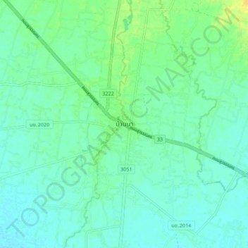
Name: บ้านนา topographic map, elevation, terrain.
Location: บ้านนา, พิกุลออก, Nakhon Nayok (Provinz), Thailand (14.22075 101.03118 14.30075 101.11118)
Average elevation: 36 ft
Minimum elevation: 13 ft
Maximum elevation: 85 ft