
Colomers topographic map
Interactive map
Click on the map to display elevation.
About this map
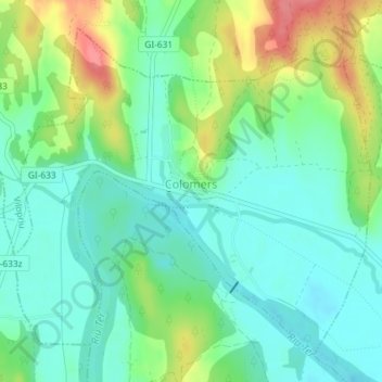
Name: Colomers topographic map, elevation, terrain.
Location: Colomers, Bas-Ampurdan, Gérone, Catalogne, 17144, Espagne (42.07204 2.97020 42.09519 3.00423)
Average elevation: 131 ft
Minimum elevation: 46 ft
Maximum elevation: 305 ft