
Chikola topographic map
Interactive map
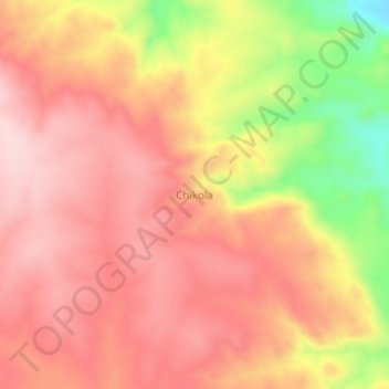
Click on the map to display elevation.
About this map
Name: Chikola topographic map, elevation, terrain.
Location: Chikola, Manyoni, Singida, Central Zone, Tanzanie (-6.11888 34.93613 -6.07888 34.97613)
Average elevation: 3,586 ft
Minimum elevation: 3,002 ft
Maximum elevation: 3,881 ft
Other topographic maps
Click on a map to view its topography, its elevation and its terrain.