
蛮哈 topographic map
Interactive map
Click on the map to display elevation.
About this map
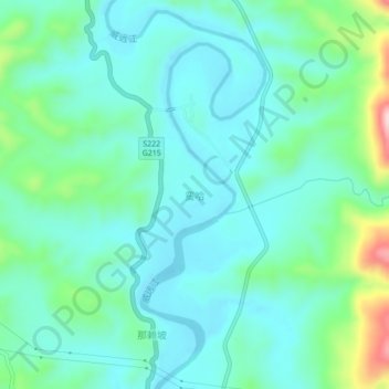
Name: 蛮哈 topographic map, elevation, terrain.
Location: 蛮哈, 景谷傣族彝族自治县 (Jinggu), Pu'er, Yunnan, 665000, Chine (23.51867 100.69524 23.55867 100.73524)
Average elevation: 3,176 ft
Minimum elevation: 2,986 ft
Maximum elevation: 3,891 ft