
Lombega topographic map
Interactive map
Click on the map to display elevation.
About this map
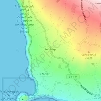
Name: Lombega topographic map, elevation, terrain.
Location: Lombega, Castelo Branco, Horta, Açores, Portugal (38.52749 -28.74857 38.54597 -28.73151)
Average elevation: 509 ft
Minimum elevation: 0 ft
Maximum elevation: 1,558 ft