
Úbeda topographic map
Interactive map
Click on the map to display elevation.
About this map
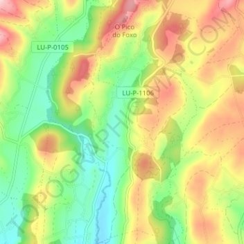
Name: Úbeda topographic map, elevation, terrain.
Location: Úbeda, A Pastoriza, Tierra Chá, Lugo, Galicia, 27286, España (43.30886 -7.38606 43.35483 -7.34734)
Average elevation: 1,791 ft
Minimum elevation: 1,470 ft
Maximum elevation: 2,198 ft
Other topographic maps
Click on a map to view its topography, its elevation and its terrain.
A Pastoriza
España > Galicia > A Pastoriza
A Pastoriza, Tierra Chá, Lugo, Galicia, España
Average elevation: 1,670 ft