
Gemeinde Ehenbichl topographic map
Interactive map
Click on the map to display elevation.
About this map
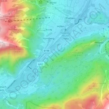
Name: Gemeinde Ehenbichl topographic map, elevation, terrain.
Location: Gemeinde Ehenbichl, Bezirk Reutte, Tyrol, Austria (47.43695 10.64412 47.48002 10.72433)
Average elevation: 3,632 ft
Minimum elevation: 2,772 ft
Maximum elevation: 6,358 ft