
Carmel topographic map
Interactive map
Click on the map to display elevation.
About this map
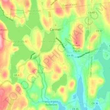
Name: Carmel topographic map, elevation, terrain.
Average elevation: 531 ft
Minimum elevation: 305 ft
Maximum elevation: 833 ft
Other topographic maps
Click on a map to view its topography, its elevation and its terrain.
Mahopac
United States > New York > Putnam County > Town of Carmel
Mahopac, Town of Carmel, Putnam County, New York, United States
Average elevation: 659 ft