
Arborfield topographic map
Interactive map
Click on the map to display elevation.
About this map
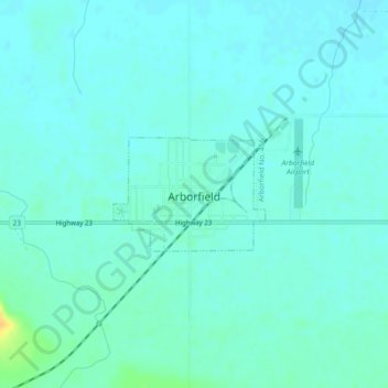
Name: Arborfield topographic map, elevation, terrain.
Location: Arborfield, Division No. 14, Saskatchewan, S0E 0A0, Canada (53.10174 -103.66949 53.10966 -103.65186)
Average elevation: 1,188 ft
Minimum elevation: 1,168 ft
Maximum elevation: 1,263 ft
Other topographic maps
Click on a map to view its topography, its elevation and its terrain.
Brooksby
Canada > Saskatchewan > Division No. 14 > Willow Creek No. 458
Brooksby, Willow Creek No. 458, Division No. 14, Saskatchewan, Canada
Average elevation: 1,430 ft