
Chuga topographic map
Interactive map
Click on the map to display elevation.
About this map
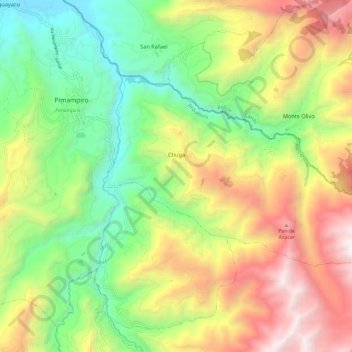
Name: Chuga topographic map, elevation, terrain.
Location: Chuga, Cantón Pimampiro, Imbabura, Ecuador (0.33330 -77.92962 0.40133 -77.81039)
Average elevation: 8,301 ft
Minimum elevation: 5,427 ft
Maximum elevation: 12,244 ft