
Guntung topographic map
Interactive map
Click on the map to display elevation.
About this map
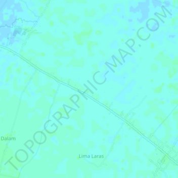
Name: Guntung topographic map, elevation, terrain.
Location: Guntung, Batu Bara, Sumut, Indonesia (3.17651 99.59830 3.21651 99.63830)
Average elevation: 7 ft
Minimum elevation: -7 ft
Maximum elevation: 16 ft