Geolocate

Reeds Spring topographic map

Click on the map to display elevation.

About this map

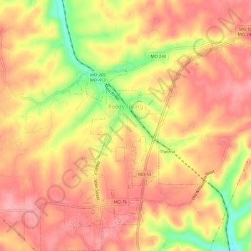
Name: Reeds Spring topographic map, elevation, terrain.

Location: Reeds Spring, Stone County, Missouri, United States (36.72668 -93.39493 36.76667 -93.34877)

Average elevation: 1,309 ft

Minimum elevation: 1,056 ft

Maximum elevation: 1,430 ft

Stone County trails, hiking, mountain biking, running and outdoor activities

Other topographic maps

Click on a map to view its topography, its elevation and its terrain.

Lakeview

United States > Missouri > Stone County > Branson West

Average elevation: 1,253 ft

Radical

United States > Missouri > Stone County > Kimberling City

Average elevation: 965 ft

Lampe

United States > Missouri > Stone County

Average elevation: 1,119 ft

Gear up for your next adventure:

🛠️Backpacking Tool Kit - Essential toolkit for outdoor repairs
👖Convertible Hiking Pants - Versatile zip-off pants for changing altitudes and temperatures
🎒Outdoor Daypacks - Lightweight backpacks designed for carrying maps and essential gear
🪶Camping Sleeping Pad - Comfortable sleeping pad for backpacking
🏕️Tent Footprint - Protect your tent base from wear

As an Amazon Associate, this site earns from qualifying purchases at no extra cost to you.