
Haynie topographic map
Interactive map
Click on the map to display elevation.
About this map
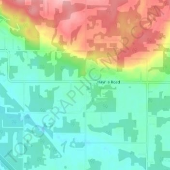
Name: Haynie topographic map, elevation, terrain.
Location: Haynie, Whatcom County, Washington, USA (48.95078 -122.68016 48.99078 -122.64016)
Average elevation: 174 ft
Minimum elevation: 20 ft
Maximum elevation: 472 ft